How To Get To The Death Road From La Paz: Route, La Cumbre And Logistics
The road starts an hour above La Paz at a windswept pass, then drops three and a half vertical kilometres into jungle. Here is how you get to the top and back.
Use the section recommendations as you read, then tailor the booking choice after the FAQs.
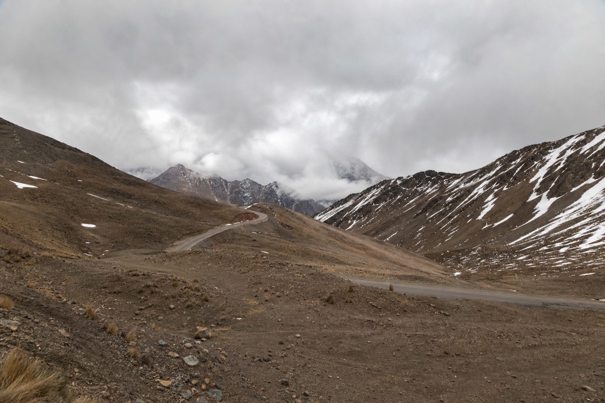
Approximate elevation profile of the ride from La Cumbre pass to Yolosa, based on operator route figures. Distances and grades are indicative.
Quick Booking Choice Compare the shared full-day descent with a private riding day, using actual inclusions and enough time for the return to La Paz.
Check Your Death Road Ride DateWhere Is The Death Road, And How Do You Get There From La Paz?
The Death Road runs from La Cumbre pass at around 4,700 metres, about an hour east of La Paz by road, down to Yolosa and Coroico in the Yungas at roughly 1,200 metres. You reach the top by minibus from La Paz, ride the 64-kilometre descent, then take a long uphill drive back. Almost everyone does it as a guided day trip.
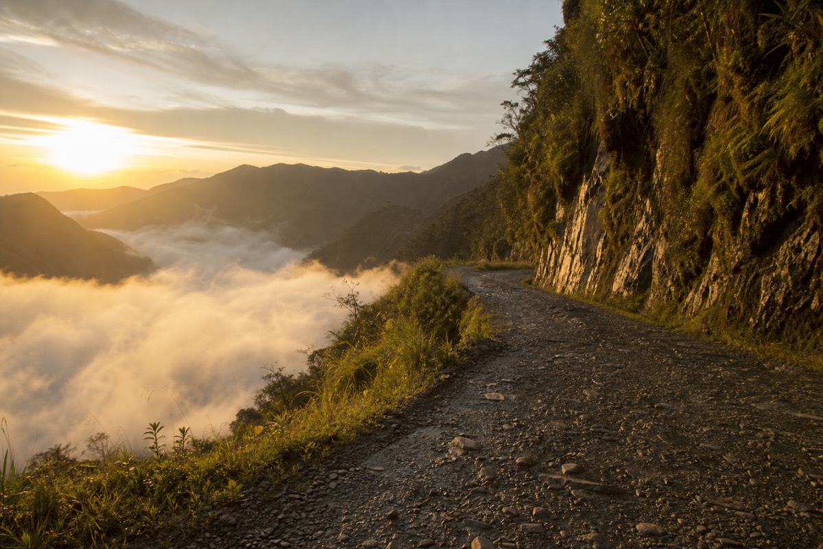
The geography is the whole story. La Paz sits in a canyon at about 3,600 metres. The route climbs out of the city onto the altiplano, crosses the high pass at La Cumbre, then follows a paved warm-up stretch before switching onto the old gravel road cut into the cliffs. From there it is a near-continuous descent of roughly 3,500 vertical metres into warm, humid cloud forest. The finish at Yolosa is a different climate entirely from the freezing pass where you started.
Two names come up constantly and it helps to keep them straight. La Cumbre is the high pass where the ride begins, an hour above La Paz on a paved highway. Yolosa is the small settlement at the bottom of the old road where the descent ends, just below the town of Coroico in the Yungas. Everything in between is the route: about 25 kilometres of driving up to the pass, then roughly 64 kilometres of riding down. Getting those three points fixed in your head, La Paz, La Cumbre and Yolosa, makes the rest of the logistics straightforward, because every part of the day is simply movement between them.
You do not drive the old road to a viewpoint and walk. You ride it top to bottom, which is why transport is built around a support vehicle that carries the bikes up and the riders down. Every trip we list at Death Road Bolivia Tours handles this pickup-to-return logistics chain for you, and the full picture of the day is in our complete Death Road bike tour guide. Wikipedia's entry on the North Yungas Road covers the route's history and dimensions.
How Do You Get To La Paz In The First Place?
Most riders fly into El Alto International Airport (airport code LPB), which sits on the altiplano above the city at around 4,061 metres, then descend into La Paz proper at about 3,600 metres. Long-distance buses also connect La Paz to Uyuni, Copacabana, Cusco and other hubs. From either, you are usually a confirmed meeting point away from the ride.
El Alto is one of the highest international airports in the world, so the altitude hits the moment you land. That is the main reason nearly everyone spends a day or two in La Paz before riding: you want to be past the worst of the adjustment before you are on a bike at 4,700 metres. If you are arriving overland, the overnight bus from Uyuni or the daytime run from Copacabana both drop you in La Paz with time to settle.
The transfer from El Alto down into La Paz is itself a small event. The airport sits on the flat altiplano above the city, and the road drops off the rim into the canyon where La Paz spreads across the slopes, losing several hundred metres in a few minutes. Taxis and the cable-car network both make the trip. Whichever you take, resist the urge to book a ride for the same day you land: your body is adjusting to thin air, and stacking a mountain-bike descent on top of a first day at altitude is how people end up unwell at 4,700 metres instead of enjoying the view.
| Getting to La Paz | Typical time | Notes |
|---|---|---|
| Fly into El Alto (LPB) | Varies by origin | Airport at around 4,061m, transfer down into the city |
| Overnight bus from Uyuni | Around 9 to 10 hours | Common for salt-flat combos |
| Bus from Copacabana (Lake Titicaca) | Around 3.5 to 4 hours | Scenic daytime run |
| Bus from Cusco, Peru | Around 12+ hours with border crossing | Overland from the Peru side |
Because the airport is so high, read acclimatising to La Paz altitude before you plan a same-day ride. Arriving and riding in the same 24 hours is a mistake the mountain does not forgive.
What Is The Route From La Paz To La Cumbre?
From La Paz, the road climbs out of the canyon onto the altiplano and up to La Cumbre pass at around 4,700 metres, a drive of roughly one hour covering about 25 kilometres. This is the high point of the day, a cold, thin-air saddle in the mountains where the bikes are unloaded, fitted and checked before the descent begins.
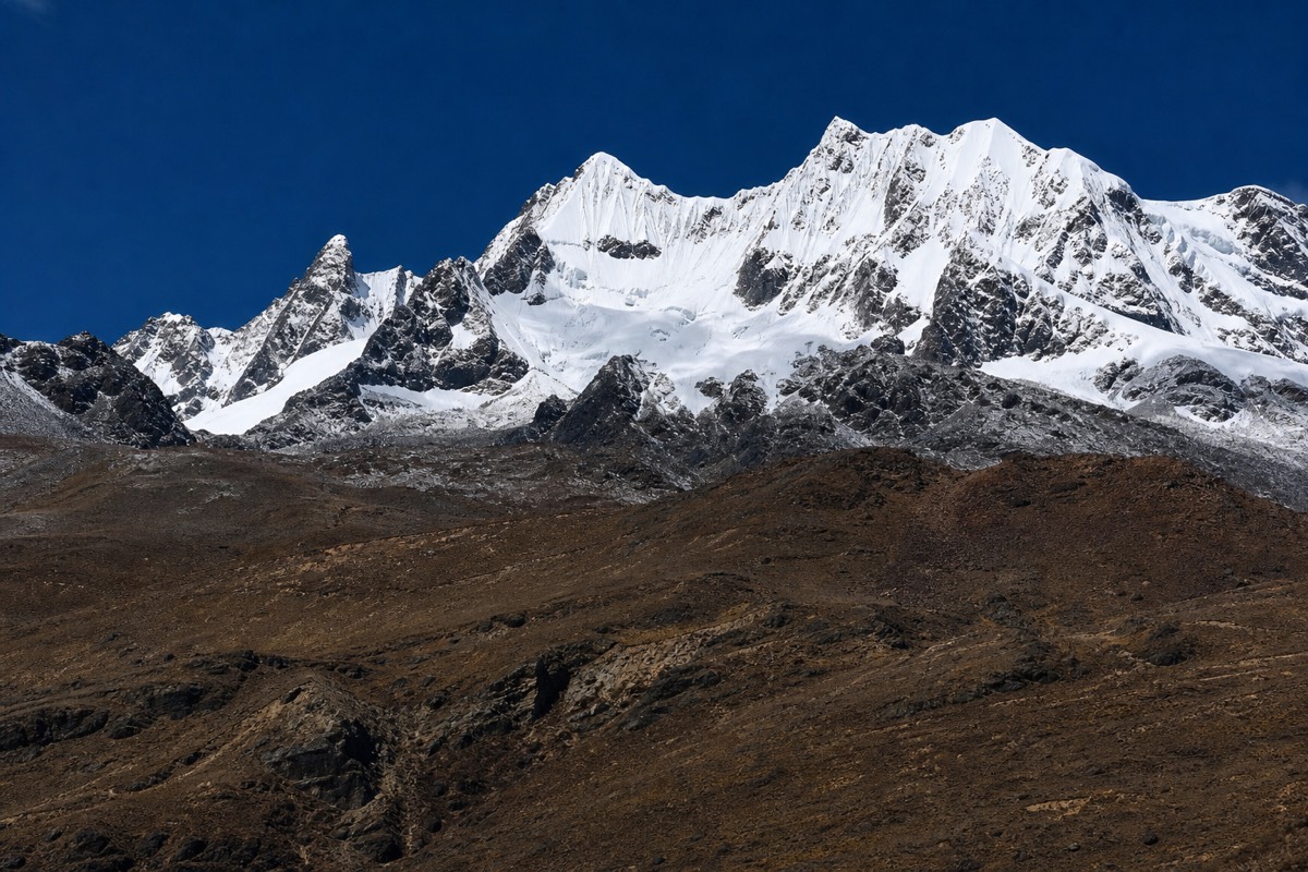
The climb is short but steep in altitude terms, gaining more than a thousand metres from the city to the pass. On a clear morning the views back over La Paz and up to the surrounding peaks are enormous. La Cumbre itself is exposed and often freezing at dawn, which is why layers matter even though you finish the day in jungle heat. This is the section people underestimate: the start is genuinely alpine.
The drive itself is part of the experience rather than dead time. You leave the deep bowl of La Paz, thread up through El Alto's edge, and come out onto open high country where the peaks of the Cordillera Real stand along the skyline. By the time the minibus tops out at La Cumbre, you are higher than almost any point in Europe, and the thin air is obvious the moment you step out to collect a bike. The guides use this window to fit each rider to their bike, run the brake and gear check, and walk the group through the safety briefing before anyone rolls downhill.
| Segment | Distance | Elevation | Surface | Time |
|---|---|---|---|---|
| La Paz city | Start | Around 3,600m | Paved city roads | Pickup around 7:00 am |
| La Paz up to La Cumbre pass | Around 25 km | Climb to around 4,700m | Paved highway | Around 1 hour by minibus |
| La Cumbre pass, start point | Trailhead | Around 4,700m | Bike fitting and briefing | Around 8:30 to 9:15 am |
What Happens Between La Cumbre And Yolosa On The Ride?
The descent has two halves. First comes a paved warm-up of roughly 20 kilometres from La Cumbre, a fast, smooth stretch where you find your brakes and your nerve. Then the route switches onto the old gravel Death Road, a narrow cliff-cut shelf that drops through the Yungas to Yolosa at around 1,200 metres, ending in humid jungle near Coroico.
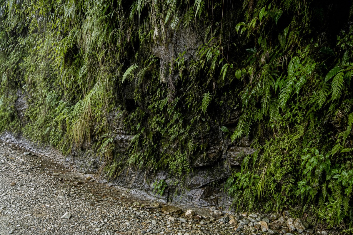
The paved section is deceptively quick and is where riders build confidence and speed before the terrain changes. When the tarmac ends, the old road begins: gravel and dirt, around three metres wide in places, with drop-offs of 500 to 600 metres and no guardrail. Vehicles historically drove on the left here so drivers could watch the cliff edge, and cyclists follow the same convention, keeping to the valley side away from oncoming traffic. That left-hand rule is one of the details that earned the route its billing as the world's most dangerous road.
The climate change over the descent is one of the strangest parts of the day. You start in freezing, oxygen-thin air where a windproof layer is welcome, and finish a few hours later in humid subtropical heat with waterfalls spilling across the track and green closing in on both sides. Riders routinely peel off layers at the stops as the temperature climbs. The transition is gradual enough that you barely notice it happening, then you look up and realise the snow-line world of La Cumbre has become jungle. Very few rides on earth move through this much of the planet's weather in a single morning.
| Stage | Elevation | Surface | What it is like | Rough time |
|---|---|---|---|---|
| Paved warm-up from La Cumbre | 4,700m down to around 3,500m | Smooth tarmac | Fast, open, find your brakes | Around 9:15 to 10:00 am |
| Transition to the old road | Around 3,500m | Gravel begins | Pace drops, spacing matters | Around 10:00 am |
| Old Death Road, cliff sections | Around 3,300m down to 2,000m | Narrow gravel, no guardrail | Exposed, slow, photo stops | Around 10:30 am to 12:00 |
| Lower Yungas into jungle | Down to around 1,200m | Wider dirt, humid | Warm, green, waterfalls | Around 12:30 pm |
| Yolosa finish near Coroico | Around 1,200m | Village and lunch stop | Ride ends, lunch | Around 1:00 to 1:30 pm |
If the exposure is what worries you, how operators manage the road's real risks explains where accidents happen and how a good crew spaces the group. And how long the descent takes breaks the timing down further.
How Does Tour Transport Actually Work?
Guided tours arrange transport for riders and bikes, but pickup differs by product. Gravity uses a central La Paz meeting point. The private listing includes transport; confirm its pickup coverage and time. Both list a full day with a return drive, so keep the evening free.
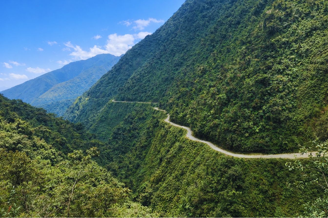
The support vehicle is the backbone of the logistics. It shadows the riders the entire way down, which provides support during the ride; where you can board depends on road conditions. It also carries the bikes, so you never have to transport your own gear. On the standard trip you share the vehicle and a fixed early departure; on the private version you get the same chain built around a start time confirmed with the operator. Both include the pickup, the descent support, and the return drive as one package.
That vehicle also changes how the ride feels, not just how safe it is. Because you know a van is right behind you carrying water, spare layers and your bag, you can ride the descent at your own pace and hop aboard for any section that feels beyond you, then rejoin lower down. Nervous riders often walk the tightest cliff corners and let the vehicle carry them a short way, which is entirely normal and not a substitute for confident basic bike control. Without that van, every one of those small outs disappears, which is the heart of the case against going independent.
| What tour transport covers | What DIY leaves you managing |
|---|---|
| La Paz meeting point or confirmed hotel pickup | Getting yourself and a bike to La Cumbre |
| Bikes carried up to the pass | Renting and transporting a bike |
| Support vehicle following the descent | No vehicle, no backup on the cliff |
| Lunch at the jungle stop | Sorting your own food and water |
| Return drive back up to La Paz | Finding transport out of Yolosa |
The two single-day options, the standard full-day group ride and the private Death Road ride, both fold this transport into the price. What each single-day trip costs in full is broken down in what a Death Road tour costs in La Paz.
Why Is The Return Drive Back To La Paz So Long?
The ride is downhill, so the drive home is the reverse: a climb from around 1,200 metres at Yolosa back up to La Paz at 3,600 metres, gaining more than two vertical kilometres over a couple of hours of mountain road. You feel the altitude return as you go, which is another reason a good acclimatisation base matters.
People sometimes forget that gravity was doing all the work on the way down. The return undoes it. The vehicle grinds back up through the same cloud forest and onto the altiplano, and most riders are tired, sun-warmed and quietly stunned for the drive. Gravity warns that return to La Paz can be 8–10 pm; keep the evening free. Plan a low-key night rather than a big evening out; you will have descended and re-ascended 3,500 metres in a day.
The re-ascent is also where a bit of altitude awareness pays off. Climbing from the warm 1,200-metre finish back to 3,600 metres in a couple of hours can bring back the headache and breathlessness of altitude, especially if you are newly arrived in Bolivia. Drink water on the way up, keep a warm layer within reach because it gets cold again fast, and do not be surprised if you doze off. The table below shows just how much vertical the day covers in each direction.
| Waypoint | Approximate altitude | Direction |
|---|---|---|
| La Paz city | Around 3,600m | Start and finish |
| La Cumbre pass | Around 4,700m | Top of the ride |
| Old road cliff sections | Around 3,300m to 2,000m | Descending |
| Yolosa finish | Around 1,200m | Bottom of the ride |
| Return drive up to La Paz | 1,200m back up to 3,600m | Re-ascent by vehicle |
Can You Get To The Death Road On Your Own Without A Tour?
Technically yes, you can rent a bike in La Paz and arrange your own transport to La Cumbre and back from Yolosa, but it is strongly discouraged. Going independent strips away the support vehicle, the experienced guide, and the bike maintenance that make the descent manageable, and it leaves you responsible for your own support arrangements; a comparative incident rate is not verified.
The independent route saves money on paper and costs you every safety layer that matters. There is no vehicle behind you on the cliff, no one who knows where the fog rolls in, and no guarantee your rental's brakes are up to a three-and-a-half-hour descent. Getting back out of Yolosa on public transport is also its own puzzle after a long day.
The logistics alone tend to sink the DIY plan. You would need to get yourself and a rented bike up to La Cumbre in the early morning, which usually means arranging a private driver anyway, then find your own way from Yolosa back up to La Paz once you are tired and the light is fading. Local minibuses do run, but they are slow, crowded and not timed around a cyclist's day. By the time you have paid for the rental, the ride up and the ride back, the saving over a booked trip is thin, and you have given up the guide and the support vehicle to get it. For almost every visitor, a guided trip is not just easier, it is the sensible call. If cost is the driver, the small saving rarely survives contact with the real logistics of getting a rented bike up and yourself back down.
Should You Stay Overnight In Coroico Instead Of Driving Straight Back?
You can. Coroico is the warm Yungas town just above Yolosa where the ride ends, and some travellers choose to stay a night there rather than face the long uphill drive back to La Paz the same afternoon. It trades a tiring return for a relaxed evening in subtropical jungle, at the cost of adding a day and arranging your own onward transport later.
For most people on a standard trip, the guided vehicle drives everyone back to La Paz the same day, and that is the simplest plan. But if your schedule is loose and the idea of collapsing by a pool in the warm Yungas appeals more than two hours of switchbacks, Coroico is a genuine option. The town sits above the finish with views over the cloud forest, and it makes a pleasant decompression after the descent. You would then travel back up to La Paz on a later day under your own steam, or continue onward, for instance toward the salt flats if you are pairing the ride with a longer trip.
Weigh it honestly against the standard same-day return. The overnight adds a night's accommodation and a separate journey back, and not every operator will restructure the trip around it, so confirm before you book. If you are building a bigger Bolivia route, the overnight in Coroico can slot neatly into an itinerary that later heads south, which is one way people fold the ride into pairing the ride with the Uyuni salt flats.
| Option | Pros | Cons |
|---|---|---|
| Same-day return to La Paz | Simple, included, back in the city that evening | Long uphill drive when you are tired |
| Overnight in Coroico | Relaxed evening in warm jungle, no rushed drive | Extra night and cost, arrange your own onward transport |
What Does The Full Day Timeline Look Like?
A typical day runs from a early meeting or confirmed pickup to an early-afternoon finish, with the descent itself taking roughly three and a half to four hours across the paved and gravel sections. Pickup, drive up, briefing, descent, lunch and the return drive fill the day, and Gravity warns that return to La Paz can be 8–10 pm.
The schedule is built around beating the weather. Trips leave La Paz early so the group reaches La Cumbre and starts descending before the afternoon fog and rain that the Yungas is known for. That early start is not negotiable on the good trips, and it is why the dry season from May to October, with firmer gravel and clearer air, is the more reliable window. When to go is covered in the best months to ride.
| Time | Stage | Elevation |
|---|---|---|
| 7:00 am | La Paz meeting point or confirmed hotel pickup, minibus departs | Around 3,600m |
| 8:30 am | Arrive La Cumbre pass | Around 4,700m |
| 8:45 am | Safety briefing, bike fitting, gear check | Around 4,700m |
| 9:15 am | Descent begins on the paved road | Around 4,600m |
| 10:00 am | Transition onto the old gravel Death Road | Around 3,500m |
| 10:30 am | First major cliff section and photo stop | Around 3,300m |
| 11:30 am | Mid-route stop, waterfall views, snacks | Around 2,000m |
| 1:00 pm | Arrive Yolosa, lower Yungas jungle | Around 1,200m |
| 1:30 pm | Lunch at a jungle spot, then return drive | Around 1,200m |
The times above are typical rather than fixed, and a good crew adjusts them to the group and the conditions on the day. A confident group moves faster and lingers longer at the photo stops; a nervous one takes the cliff sections slowly, which is exactly what the guides want. Fog, a mechanical or a rider who needs a spell in the support vehicle all shift the schedule by a few minutes here and there. What stays constant is the shape: an early start, the descent through the morning, lunch in the jungle, and the long climb home.
Once you know the logistics, the natural next question is money: browse our guided Death Road tours from La Paz to see how the trips are packaged, or read whether the ride is worth the money for the honest verdict.