Is The Death Road The World's Most Dangerous Road?
The label is real, and so is the history behind it. Here is where the 'most dangerous road' reputation came from, and how much of it still holds.
Use the section recommendations as you read, then tailor the booking choice after the FAQs.
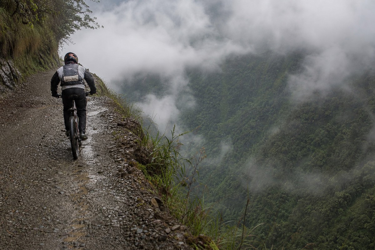
By reputation, yes. Bolivia's old Death Road earned the "most dangerous road" label in the 1990s, when hundreds of people died on it every year as buses and trucks squeezed along a one-lane cliff. A bypass highway in 2006 pulled the traffic away, so the pattern of exposure changed, though current cycling risk cannot be quantified from historic vehicle deaths.
The title is famous, repeated in guidebooks, documentaries and travel shows. Like most superlatives, it deserves a closer look: true for one era, misleading for another. Here is where the reputation came from and how much of it survives.
Quick Booking Choice Compare the shared full-day descent with a private riding day, using actual inclusions and enough time for the return to La Paz.
Check Your Death Road Ride DateWhy Was It Called The World's Most Dangerous Road?
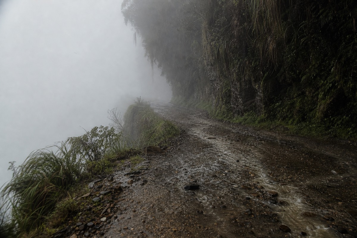
In 1995 the Inter-American Development Bank named the old North Yungas Road the world's most dangerous road. The reasons were plain: a single gravel lane about three metres wide, sheer drops of 500 to 600 metres, no guardrails, frequent fog, and two-way bus and truck traffic all sharing it.
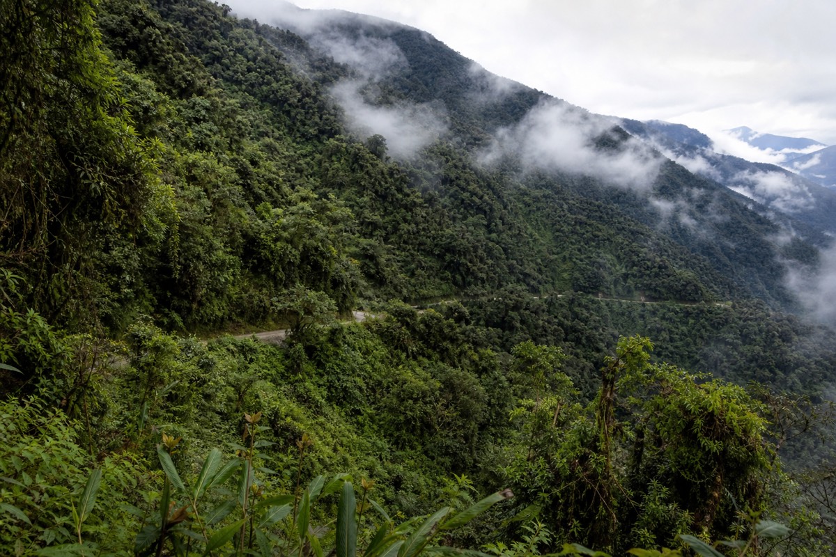
Almost every risk factor a road can have, this one had at once. Vehicles even drove on the left here, against Bolivia's normal right-hand rule, so drivers could lean out and watch their outside wheels hug the edge. Add rain, waterfalls spilling across the track and cargo trucks meeting buses on blind corners, and the death toll followed. The label was shorthand for a genuine, measurable hazard.
How Many People Actually Died On The Death Road?
In its years as the main La Paz to Coroico route, estimates put the toll at 200 to 300 deaths a year. Individual disasters pushed the count higher: in 1983 a bus went over the edge and killed more than 100 people, remembered as one of Bolivia's worst road accidents.
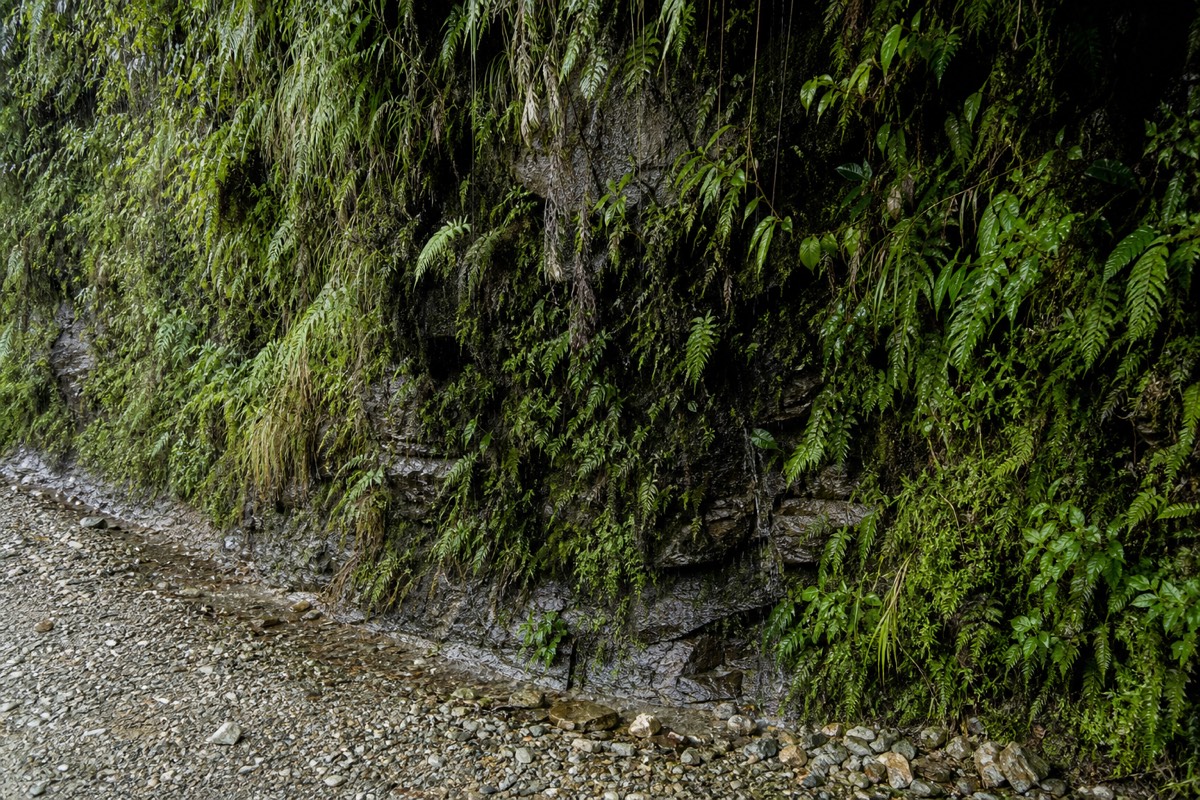
Those numbers are what cemented the reputation. A road that kills hundreds annually is not trading on hype. The full account of the toll, the accidents and how tours handle the risk now sits in our guide to how dangerous the Death Road still is. The short version: the deadliest years are behind it, but the geography that caused them has not moved an inch.
Is It Still The Most Dangerous Road Today?
Not in the way it once was. A parallel highway opened in 2006 and diverted nearly all the trucks and buses onto a wider, safer route. The old road now carries mostly tourist cyclists, around 25,000 a year, so the constant head-on traffic that caused most deaths is gone. The cliffs, though, are unchanged.
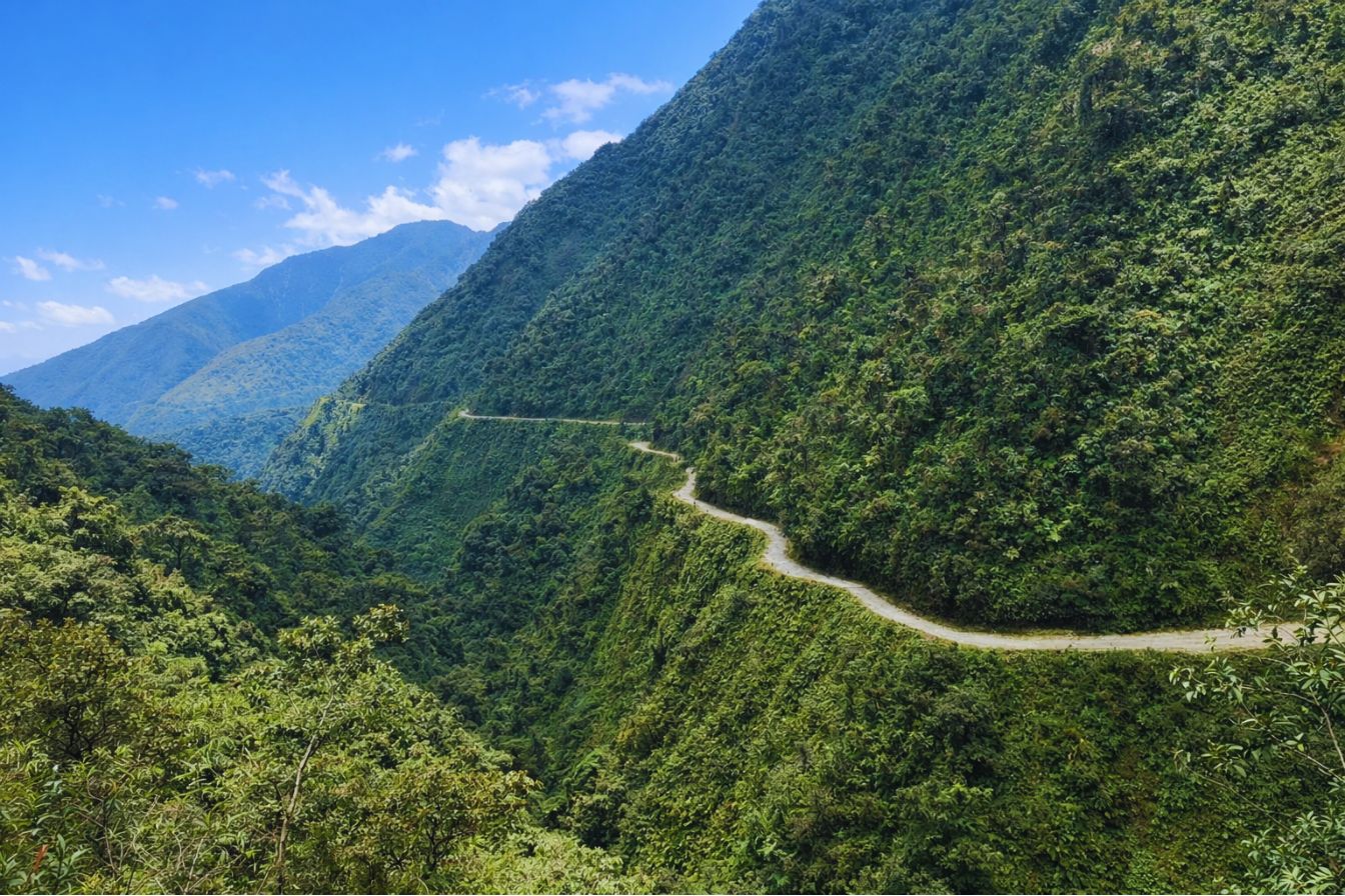
This is the honest tension in the title. The road is far safer than its reputation, because the thing that made it lethal, heavy two-way traffic on a lane too narrow to share, has been removed. Yet it is still a high, exposed gravel road with fatal drops and no barriers. Cyclist accidents can be serious or fatal. We do not have a complete current count or cause breakdown. Traffic is so light that people often ask whether you can still drive it at all; you can, but almost no one does. For how the history splits from the present-day ride, our post on why it earned the Death Road name lays it out.
How Does It Compare To Other Dangerous Roads?
Plenty of roads claim the "most dangerous" crown, from high mountain passes in Asia to cliff tracks across the Andes. What set the Death Road apart was not one feature but the stack of them at scale: extreme narrowness, huge unguarded drops, poor surface, bad weather, and heavy public traffic, all on the single link between a capital and its lowlands.
Comparisons are slippery, because reliable per-road death counts are hard to pin down, and many "deadliest road" titles rest on reputation rather than audited figures. The Death Road's claim was unusually well grounded: it had a specific institutional designation and a documented annual toll during its traffic years. Today the fairer statement is that it was once among the world's deadliest roads and is now one of its most thrilling rides. The table below shows how sharply it changed.
| Aspect | Traffic era (before 2006) | Today |
|---|---|---|
| Main use | La Paz to Coroico truck and bus route | Guided mountain-bike descents |
| Traffic | Heavy, two-way, on one lane | Light, mostly cyclists downhill |
| Annual deaths | Estimated 200 to 300 a year | Current complete count not established here |
| Visitors | Commuters and cargo | About 25,000 riders a year |
What Is The Real Risk For A Cyclist Now?
Real but manageable. The exposure is genuine: a narrow gravel road, big drops and no barriers. The difference from the old days is that you control your own speed, traffic is light, and a good operator puts an experienced guide in front and a support vehicle behind. Most riders finish it with nothing worse than sore forearms.
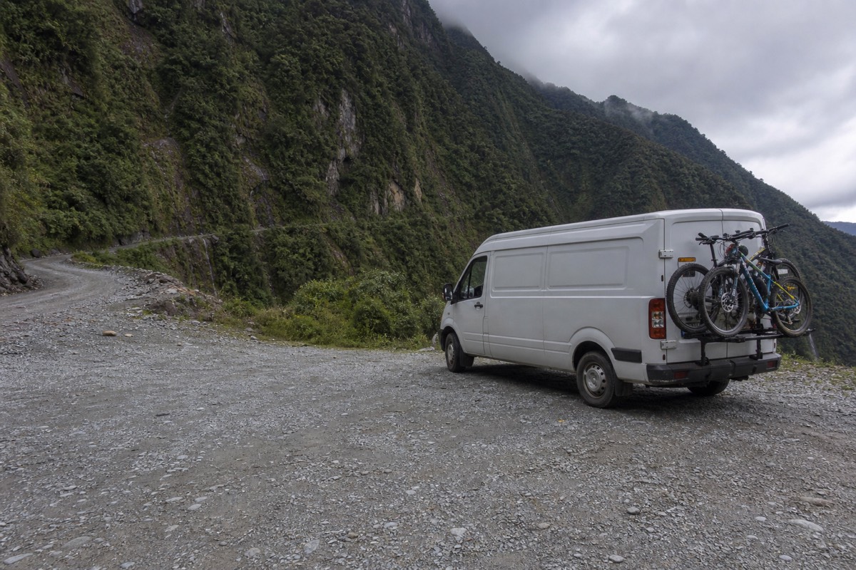
The shared Gravity ride and private biking option follow the same road corridor, with different operators, durations, meeting arrangements and restrictions. Compare their current itineraries and recent reviews, then choose by the services and guide attention your party wants. Related reading: La Cumbre; the complete bike tour guide.
Altitude note: gradual acclimatization matters. Avoid heavy exercise in the first 48 hours at altitude. Do not go higher with persistent symptoms; worsening illness needs medical advice, and breathlessness at rest, confusion or loss of coordination requires urgent help and descent. Downhill cycling and a private guide do not remove these risks.