Why Is The Death Road Called The Death Road?
The name is not marketing. It comes from decades as Bolivia's deadliest highway, before a new road took the traffic away in 2006.
Use the section recommendations as you read, then tailor the booking choice after the FAQs.
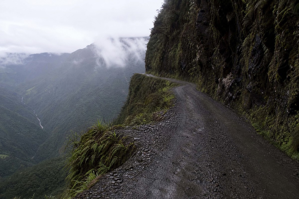
It earned the name as Bolivia's deadliest highway. When it was the main La Paz to Coroico route, an estimated 200 to 300 people died on it each year: a single-lane gravel track with drops of up to 600 metres, no guardrails and heavy fog. In 1995 it was named the world's most dangerous road, and the name stuck.
The Spanish name says it directly. Locals call it Camino de la Muerte, the Road of Death. That reputation was not built by cyclists. It was built over decades by the trucks, buses and cars that had no other way to move between the highlands and the Yungas valleys.
Quick Booking Choice Compare the shared full-day descent with a private riding day, using actual inclusions and enough time for the return to La Paz.
Check Your Death Road Ride DateHow Did The Death Road Get Its Name?
The name comes from its record as a working highway. For most of the twentieth century this was the only real link between La Paz and the Yungas, so every truck, bus and car crowded onto one narrow cliff road. The result was an estimated 200 to 300 deaths a year, one of the highest tolls of any road anywhere.
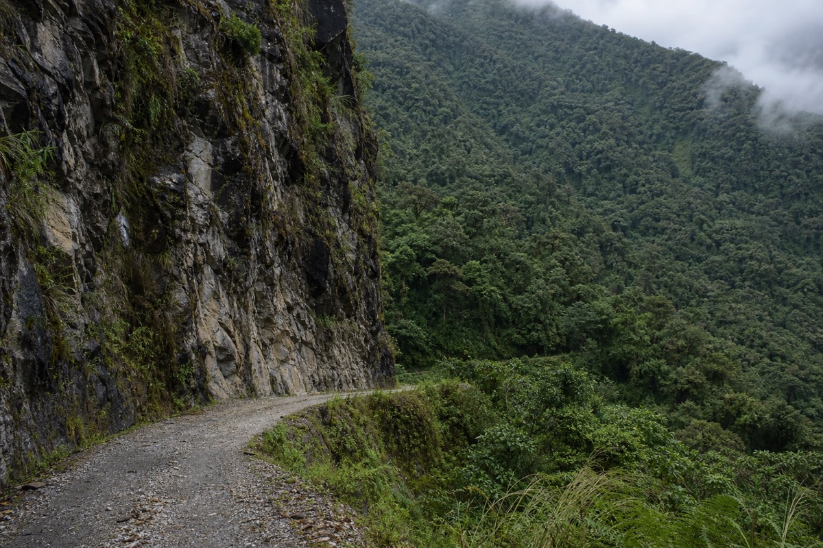
The road was built in the 1930s, largely by Paraguayan prisoners of war during the Chaco War era, and it was never designed for the traffic it later carried. Loaded trucks met oncoming buses on a track barely three metres wide in places. There was no room for error and often no room to pass. Over the years the casualties added up into the figure that gave the route its grim nickname, a toll the history of the North Yungas Road, or Camino de la Muerte, records in detail.
One crash stands out in the record. In 1983 a bus went over the edge and killed more than a hundred people, remembered as one of the worst road accidents in Bolivia's history. Events like that, repeated on a smaller scale week after week, are why the name was never an exaggeration.
Geography made all of it worse. The road links the high, dry altiplano around La Paz with the steep, wet Yungas valleys, so it sheds thousands of metres of height in a short horizontal distance. Builders had to carve a shelf into near-vertical rock, with hairpins stacked one above another over sheer faces. There was nowhere to widen it, and nowhere to fall but down.
What Made The Old Road So Deadly?
Four things combined. The road was extremely narrow, often around three metres wide. There were no guardrails above drops of 500 to 600 metres. Fog, rain and mud rolled in from the Yungas and cut visibility to metres. And two-way traffic had to pass on a shelf with no margin, frequently in the wet.
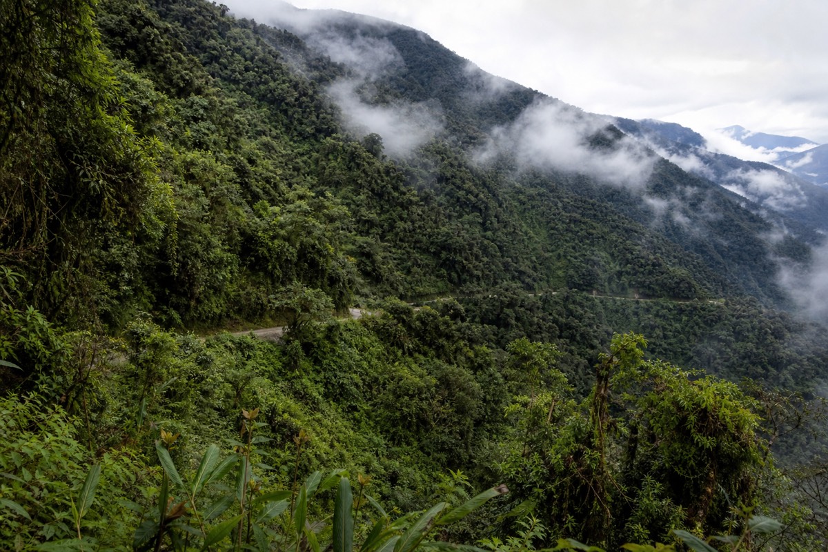
Weather did much of the damage. The road climbs into cloud where the highlands meet the jungle, so drivers often could not see the edge they were inches from. Rain turned the surface to mud and loosened the cliff above, and rockfall and washouts were routine. Each hazard was survivable alone; together, on a single-lane cliff, they were lethal.
| Hazard | Why it killed |
|---|---|
| Width around 3 metres | No room for two vehicles to pass safely |
| Drops of 500 to 600 metres | No guardrails; a mistake meant a fatal fall |
| Fog and heavy rain | Cut visibility and made the surface slick |
| Mixed heavy traffic | Trucks and buses met head-on with no margin |
There was even a special driving rule to cope with it. On this road, and this road only, Bolivian vehicles drove on the left so drivers on the downhill, cliff-edge side could lean out and watch their outer wheels against the drop. That single detail tells you how tight the margins really were.
Is The "World's Most Dangerous Road" Label Official?
It comes from a 1995 assessment by the Inter-American Development Bank, which singled the route out as the world's most dangerous road based on its death toll. The phrase was picked up by news outlets and travel media and has followed the road ever since.
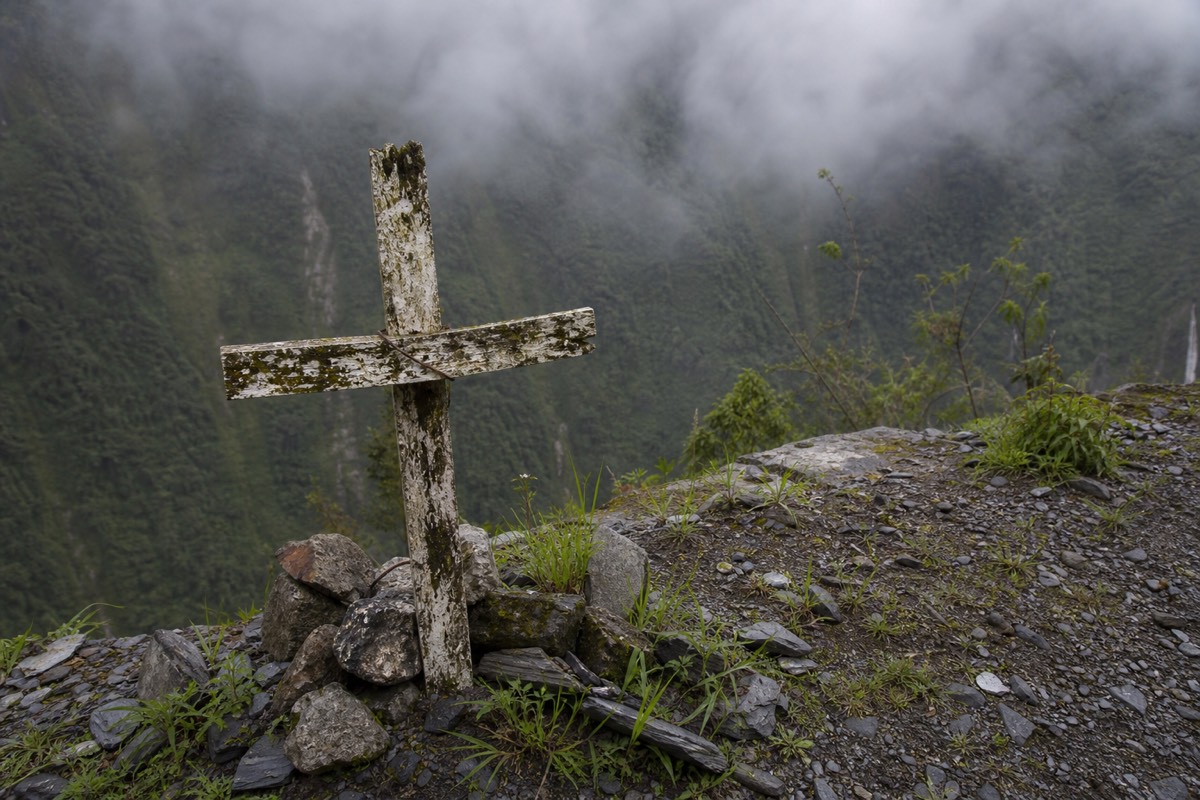
Labels like this are hard to prove with tidy global statistics, and other roads compete for the title. But the designation reflected a genuine record, not hype, and it turned a remote Bolivian highway into an international name. We look at how the claim holds up today in a separate piece on whether it is the deadliest road on Earth.
Did A New Road Change Things?
Yes. A modern, wider, paved highway between La Paz and Coroico opened in 2006 and took almost all the through-traffic off the old route. Since then the original road has carried mainly local vehicles and tourist cyclists, and Wikipedia estimates it now draws around 25,000 riders a year.
That shift is why the road is famous for a very different reason today. With the buses and freight gone, the old track became one of the best mountain-bike descents in the world, and operators built a whole day-tour around it. The danger that named it has not vanished, but it is now a managed adventure rather than a daily commute. If you are wondering whether cars still use it at all, see whether you can still drive it yourself today.
The name endures because the setting has not changed. The cliffs are the same, the drops are the same, and the history is real. Every ride we list at Death Road Bolivia Tours runs the same route the trucks once feared, only with a guide, a checked bike and a support vehicle in place of oncoming freight. Riders can pick the standard full-day group ride or the private Death Road ride with a start time confirmed with the operator. The old hazards are managed now rather than gone, which is exactly why we set out plainly how dangerous the Death Road really is before anyone books.